Hiking in the White Mountains (Lefka Ori): From Lush Gorges to Lunar Summits
1. Imbros Gorge (Sfakia Region)
Location & Geography:
Located in the municipality of Sfakia, Imbros Gorge runs almost parallel to the main road leading from Vrises down to Chora Sfakion. The path begins just below the village of Imbros on the mountain plateau and winds southwards towards the Libyan Sea, exiting near the coastal village of Komitades.
Why It Is Considered Easy:
The path is smooth, clearly marked, and highly frequented throughout the season. Traversing the gorge takes approximately 3 to 3.5 hours at a relaxed walking pace. With adult guidance, this route is safe and easy to manage, even for young children, offering an accessible canyoning experience without requiring technical skills.
Distinct Features & Landscape:
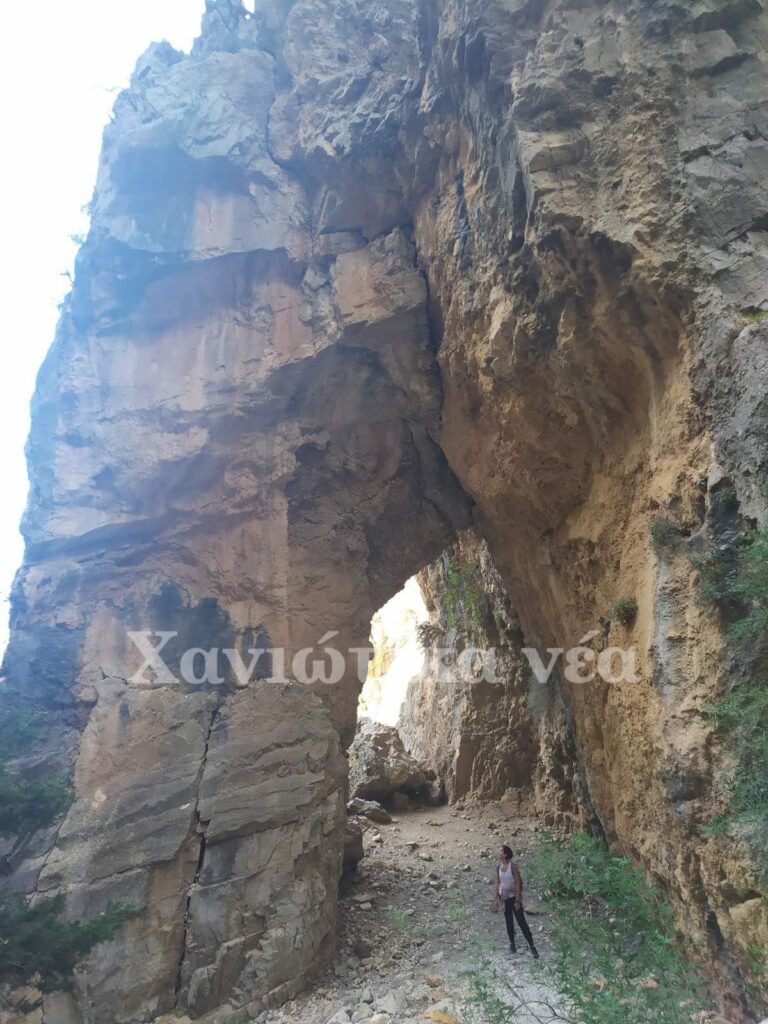
Imbros captures all the rugged, wild drama of the Cretan gorges on a more compact, friendlier scale than Samaria. The landscape rewards hikers with towering vertical rock faces, native cypress trees, and striking narrow passes. The trail’s defining highlight is the famous “Stenada” pass, where the limestone walls close in to a width of just 1.6 metres. After exiting the gorge, you can reach the nearby coast of Sfakia or Frangokastello within minutes for a swim in the Libyan Sea.
2. Agia Eirini Gorge (East Selino)
Location & Geography:
Situated in the region of East Selino, south-west of Chania, this picturesque gorge starts near the peaceful village of Agia Eirini. It carves its way south, concluding directly at the seaside village of Sougia.
Why It Is Considered Easy:
Much like Imbros, Agia Eirini features a well-maintained, clearly signposted trail with a steady, gradual descent. It requires roughly 3 to 3.5 hours to complete. It remains popular with hikers of all ages and is well suited for family treks under parental supervision.
Distinct Features & Landscape:
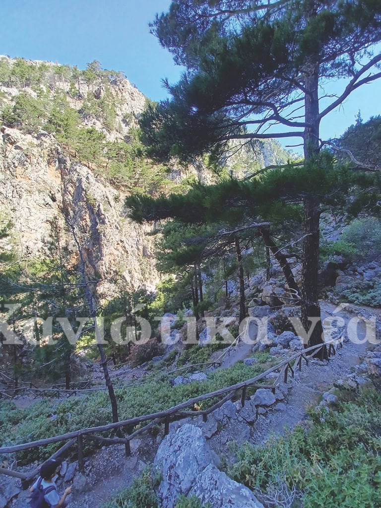
Agia Eirini is exceptionally green and atmospheric. The riverbed is lined with towering plane trees, pine groves, and aromatic Cretan herbs, providing generous shade throughout much of the walk. The dramatic cliffs narrow into impressive rocky corridors before the canyon opens up towards the south. The trek ends at the crystal-clear, deep-blue waters of Sougia Beach, offering the ultimate swim right after your hike.
3. Kormokopos Cave (Sfakia Region)
Location & Geography:
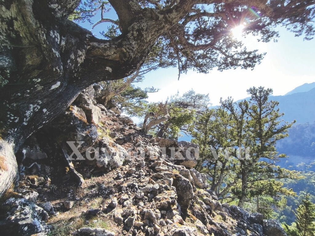
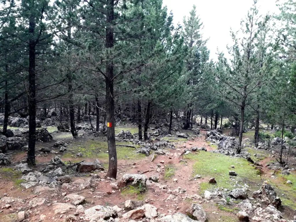
Situated in the municipality of Sfakia, the trail starts directly from the traditional mountain village of Agios Ioannis and winds through the dense, fragrant local pine forest.
Why It Is Moderate:
Local mountaineers highlight that this trail is virtually impossible to lose because the Chania Mountaineering Club (EOS Chanion) has signposted it thoroughly throughout. The hike takes roughly 2.5 hours at a steady pace. It includes gradual uphill sections that provide a light physical workout without troubling experienced or active walkers.
Distinct Features & Landscape:
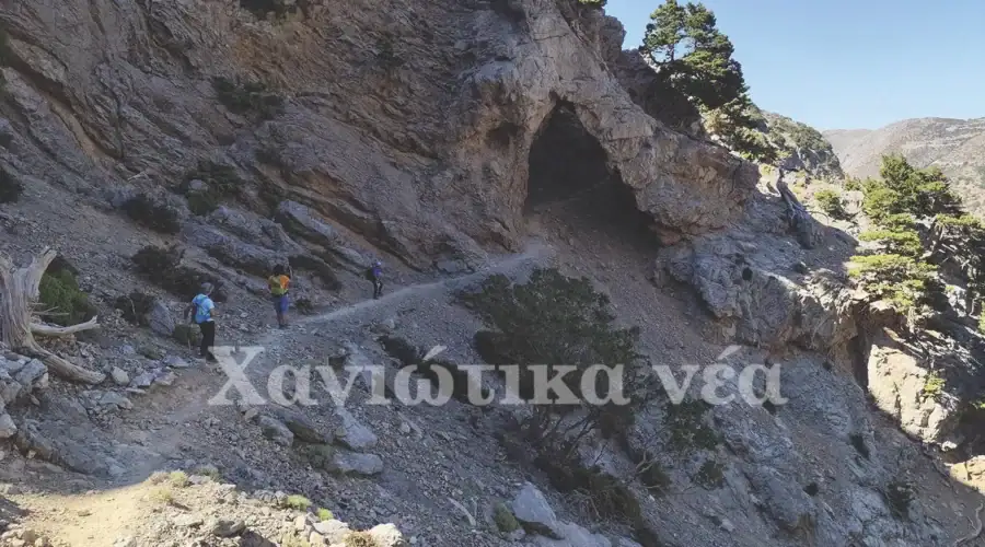
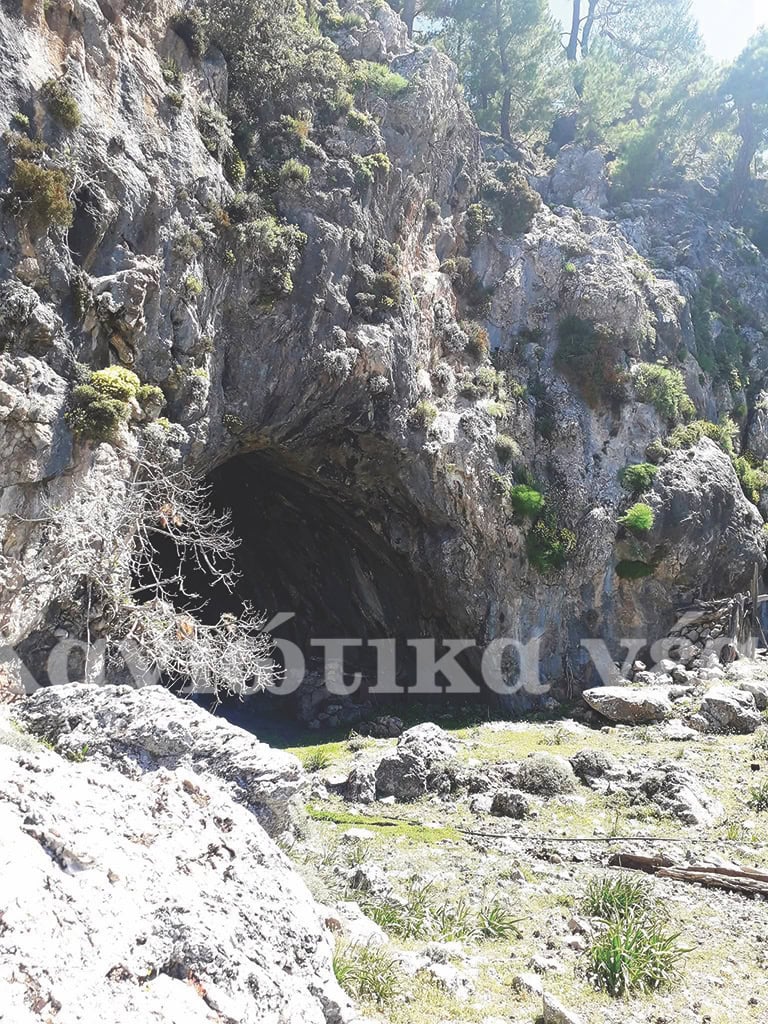
The route is blanketed in towering pine and cypress trees, providing refreshing mountain scents and scenic vantage points overlooking the southern coastline. The hike culminates at the dramatic Kormokopos Cave, an impressive natural limestone cavern perched high above the cliffs.
4. Kalos & Kakos Poros (Sfakia Region)
Location & Geography:
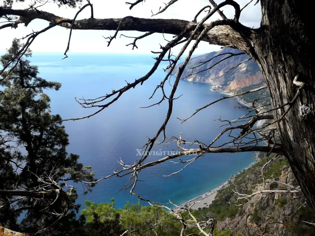
Two distinct, interconnected routes starting near the mountain settlement of Agios Ioannis in Sfakia, each taking approximately 3 hours to complete.
Why They Are Moderate:
Both trails require proper concentration and sound physical preparation. Hikers must wear sturdy ankle-supporting boots, carry ample drinking water, and bring adequate sun protection.
Landscape & Highlights:
Kalos Poros: A scenic descent through dense pine woods that leads directly down to the historic seaside church of Agios Pavlos on the coast. The trail alternates between shaded woodland sections and open, sun-drenched rocky paths.
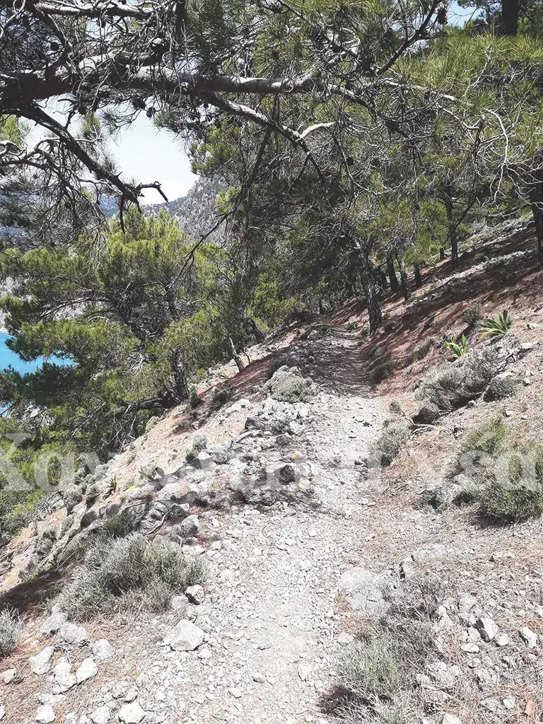
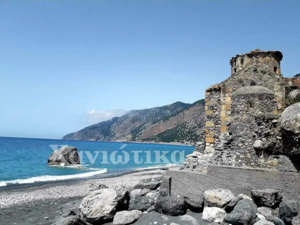
Kakos Poros: A rougher and more demanding trail over rocky terrain. The route rewards intrepid walkers by ending at an extraordinary natural “balcony”—a sheer cliff edge with sweeping, panoramic views straight down to the Libyan Sea.
5. Mount Gigilos (Altitude: 2,089 m)
Location & Geography:
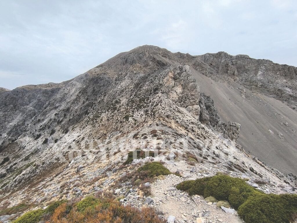
Towering at 2,089 metres, Gigilos dominates the western edge above the Samaria Gorge entrance, right at Xyloskalo on the Omalos Plateau.
Why It Is Highly Demanding:
Locally known as “Sapimenos” (the rotten mountain) due to the illusion from Omalos that its shattered, weathered cliffs are collapsing, this route involves a steep, technical alpine ascent. Hikers encounter loose scree, steep gradients, and exposed rocky traverses that demand solid fitness and mountain experience.
Distinct Features & Landscape:
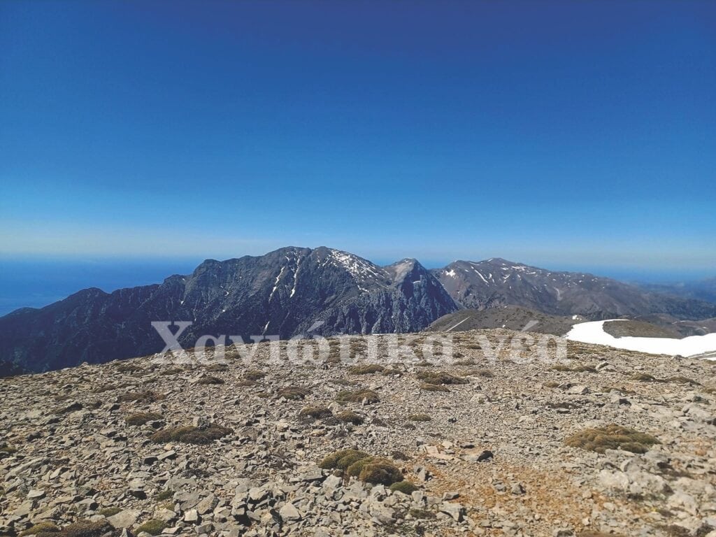
The ascent offers unparalleled panoramas, allowing you to see both the Cretan and Libyan seas simultaneously, with the vast abyss of Samaria Gorge sitting directly beneath you. The trail passes by the freshwater source at Linoseli spring. It leads walkers directly through the “Kamara”, a famous natural rock arch carved into the mountain flank, before opening up into the stark, lunar alpine desert characteristic of the Lefka Ori peaks.
6. Mount Melindaou (Altitude: 2,133 m)
Location & Geography:
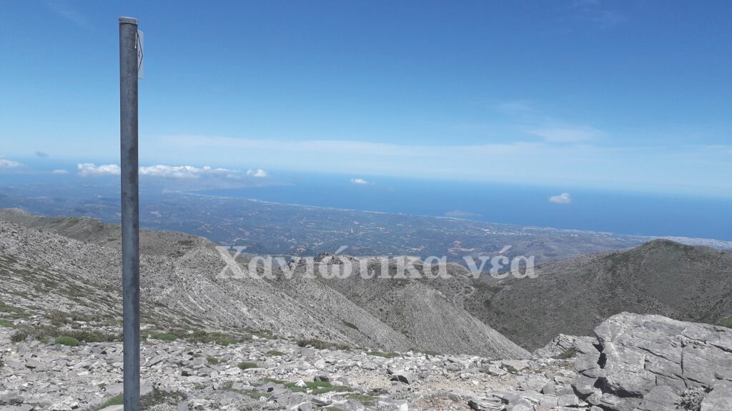
Standing opposite Mount Gigilos on the eastern flank above Samaria Gorge, Melindaou rises directly along the international E4 European Long Distance Path, accessed just past the Kallergi Mountain Refuge.
Why It Is Moderate:
A strenuous high-altitude trek featuring a continuous, steep, and rocky incline across broken limestone fields. It forms an iconic section of the classic Lefka Ori alpine crossing. The path benefits from clear E4 markers, allowing hikers to navigate without losing their way.
Distinct Features & Landscape:
Reaching the summit at 2,133 metres unveils what mountaineers describe as an awe-inspiring “sea of mountain peaks”—an endless expanse of undulating limestone crests and high-altitude sinkholes. Alongside aerial views into the depths of Samaria Gorge, the slopes of Melindaou are home to flourishing populations of wild Cretan mountain tea (malotira), which ripens slowly at these high altitudes.